

In the realms of navigation, surveying, and geosciences, precise measurement of angles is crucial. Among the various instruments developed over centuries, the bussola stands out as a reliable and historically significant tool. Though simple in its design, the bussola has been instrumental in shaping how humans explore and understand their environment. This article explores the role of the bussola in measuring angles, its history, working principle, and modern-day relevance.
What is a Bussola?
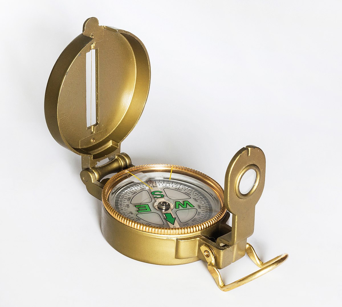
A bussola, also known as a magnetic compass, is a navigational instrument primarily used to determine direction relative to the Earth’s magnetic poles. While the common perception of a compass is limited to direction finding, in professional fields like surveying and geology, specialized versions of the bussola are used to measure horizontal and vertical angles accurately.
These precision compasses are not the kind used by casual hikers but rather those integrated with other measuring tools. They are equipped with graduated circles, sighting mechanisms, and often include clinometers to measure vertical angles. Such instruments are invaluable for fieldwork in challenging terrains where GPS might fail or precise angular measurements are required.
Historical Significance
The bussola has its roots in ancient China, where early versions were used as early as the 11th century. Eventually, the technology traveled to Europe and evolved into more sophisticated forms. During the Age of Exploration, European navigators relied heavily on compasses for maritime navigation. However, as scientific methods advanced, the bussola was adapted for land-based applications like surveying and mining.
One significant evolution was the development of the prismatic compass, a type of bussola designed specifically for angle measurement. This device allowed users to measure horizontal angles with a high degree of precision by sighting objects through a prism and reading off the scale simultaneously.
How a Bussola Measures Angles
The principle behind the bussola’s ability to measure angles lies in its combination of magnetic alignment and angular graduation. Here’s how it works:
- Magnetic Alignment: The bussola contains a magnetized needle that aligns itself with the Earth’s magnetic field. This alignment provides a consistent reference point—magnetic north.
- Graduated Circle: Around the compass needle is a circular scale, usually marked from 0° to 360°. When the needle stabilizes, users can determine the direction or angle between objects by reading the degree measurements where the object aligns through the sight.
- Sighting Mechanism: Many advanced bussola models include sights, alidades, or prisms. These allow the user to line up distant landmarks or features accurately. By noting the degree at which each object lies relative to the magnetic north, users can calculate the angle between them.
- Vertical Angle Measurement: Some versions, like the Brunton compass, combine a clinometer and compass in one device. This allows users to measure vertical angles by sighting uphill or downhill and reading the tilt from an internal scale.
Applications of the Bussola
1. Land Surveying
Surveyors use the bussola to measure angles between various points on a plot of land. It helps create accurate maps and determine boundaries. Even with the advent of GPS and digital total stations, the bussola remains a valuable tool, especially in remote areas.
2. Geology
Geologists rely on bussolas to measure the orientation of rock layers, faults, and other geological features. Measurements such as strike and dip are crucial in understanding the Earth’s structure and are often collected using a compass with angle-measuring capabilities.
3. Forestry and Environmental Studies
In forestry, the bussola is used to measure tree heights, slope angles, and plot boundaries. For environmental scientists conducting field studies, it offers a quick and effective way to gather directional and angular data.
4. Military and Navigation
Military personnel have long used bussolas for navigation and strategic planning. The ability to measure angles and bearings precisely is vital in terrain analysis and positioning.
Advantages of Using a Bussola
- Portability: Lightweight and easy to carry, especially in rugged or remote environments.
- Durability: Unlike digital devices, a well-constructed bussola can withstand harsh conditions.
- No Power Required: It operates without batteries or electronics, making it dependable in emergencies.
- Precision: When properly calibrated and used, it can yield highly accurate angular measurements.
Limitations
Despite its usefulness, the bussola is not without limitations. It can be affected by nearby metallic objects or electromagnetic fields, which may cause deviations. Users must also account for magnetic declination—the difference between true north and magnetic north—to avoid errors.
Moreover, while it is excellent for measuring relative angles and directions, it lacks the comprehensive data integration of modern surveying equipment like total stations or GPS-based systems.
Modern Adaptations
Today, digital compasses and laser rangefinders have enhanced the basic principles of the bussola. These modern instruments offer electronic readings, digital storage, and integration with mapping software. However, many professionals still carry a traditional bussola as a backup or for quick, on-the-spot measurements.
Conclusion
The bussola to measure angles is a perfect example of a simple tool with profound utility. From guiding ancient mariners across oceans to helping geologists understand Earth’s history, its role has been both timeless and essential. Even in a world dominated by high-tech instruments, the bussola remains a trusted ally in the field—proof that sometimes, the oldest tools are still the most reliable.
Whether you’re a student of geology, a land surveyor, or an adventurer navigating uncharted terrain, mastering the bussola not only connects you with centuries of exploration but also equips you with a dependable means of measuring the world around you.


